|
|
Advertisements:
GeographyLocation
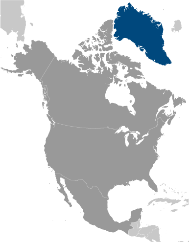
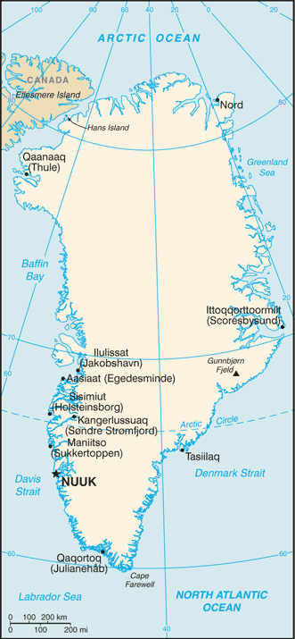
Northern North America, island between the Arctic Ocean and the North Atlantic Ocean, northeast of Canada Geographic coordinates
72 00 N, 40 00 W
Map references
North America
Area World Ranking: 12
Total 2,166,086 sq km
Land 2,166,086 sq km (410,449 sq km ice-free, 1,755,637 sq km ice-covered) Area - comparative
Slightly more than three times the size of Texas Land boundaries
0 km
Coastline
44,087 km
Maritime claims
Territorial sea 3 nm
Exclusive fishing zone 200 nm or agreed boundaries or median line Continental shelf 200 nm or agreed boundaries or median line Climate
Arctic to subarctic; cool summers, cold winters Terrain
Flat to gradually sloping icecap covers all but a narrow, mountainous, barren, rocky coast Elevation extremes
Lowest point Atlantic Ocean 0 m
Highest point Gunnbjorn Fjeld 3,700 m Natural resources
Coal, iron ore, lead, zinc, molybdenum, diamonds, gold, platinum, niobium, tantalite, uranium, fish, seals, whales, hydropower, possible oil and gas Land use
Arable land 0%
Permanent crops 0% Other 100% (2005) Irrigated land
NA
Natural hazards
Continuous permafrost over northern two-thirds of the island Environment - current issues
Protection of the arctic environment; preservation of the Inuit traditional way of life, including whaling and seal hunting Geography - note
Dominates North Atlantic Ocean between North America and Europe; sparse population confined to small settlements along coast; close to one-quarter of the population lives in the capital, Nuuk; world's second largest ice cap
Comments
Add a new comment: |
Advertisement
Members area
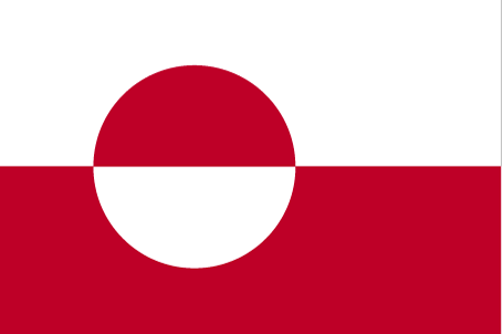
Greenland [ Denmark ] (Denmark):
 
GPS points from Greenland [ Denmark ] (Denmark)
|
||||||||

 Greenland, the world's largest island, is about 81% ice capped. Vikings reached the island in the 10th century from Iceland; Danish colonization began in the 18th century, and Greenland was made an integral part of Denmark in 1953. It joined the European Community (now the EU) with Denmark in 1973 but withdrew in 1985 over a dispute centered on stringent fishing quotas. Greenland was granted self-government in 1979 by the Danish parliament; the law went into effect the following year. Greenland voted in favor of increased self-rule in November 2008 and acquired greater responsibility for internal affairs when the Act on Greenland Self Government was signed into law in June 2009. Denmark, however, continues to exercise control of Greenland's foreign affairs, security, and financial policy in consultation with Greenland's Home Rule Government.